|
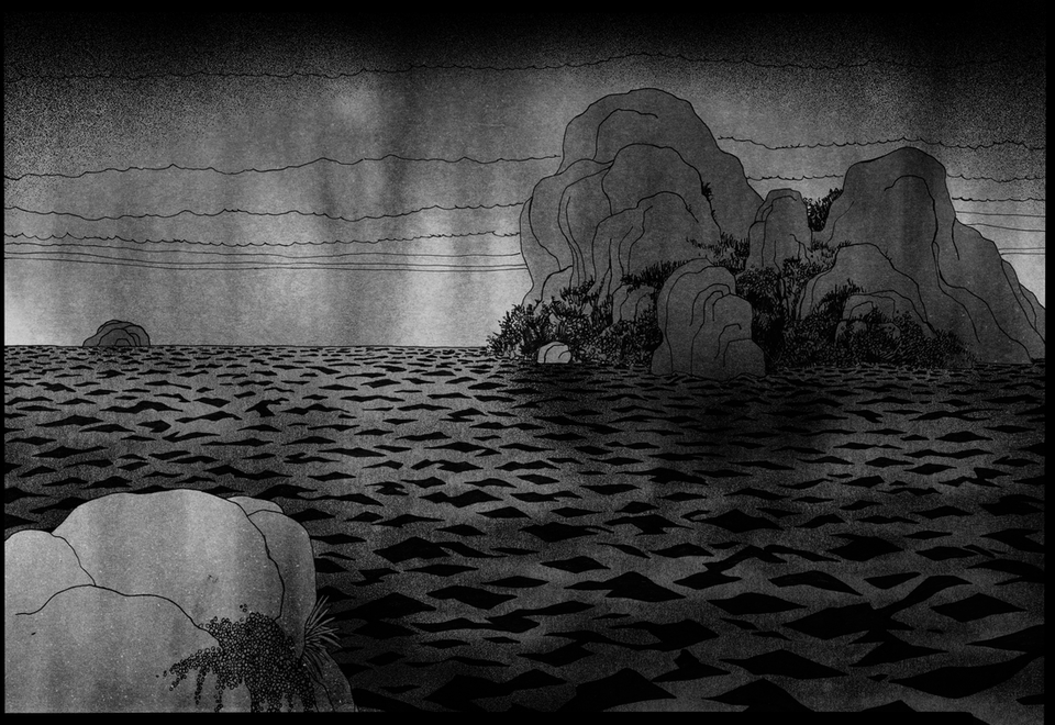
1. Sandy Island
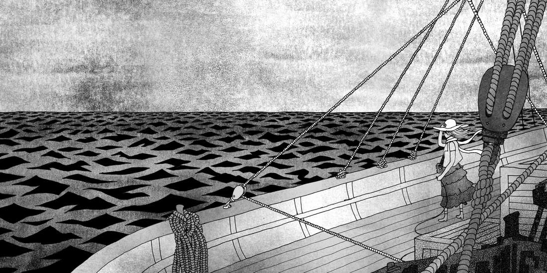
(which was charted on nautical maps for over a century before it was officially “undiscovered” by the R/V Southern Surveyor in 2012) |
|
|
2. The Drowned Land of Reimerswaal
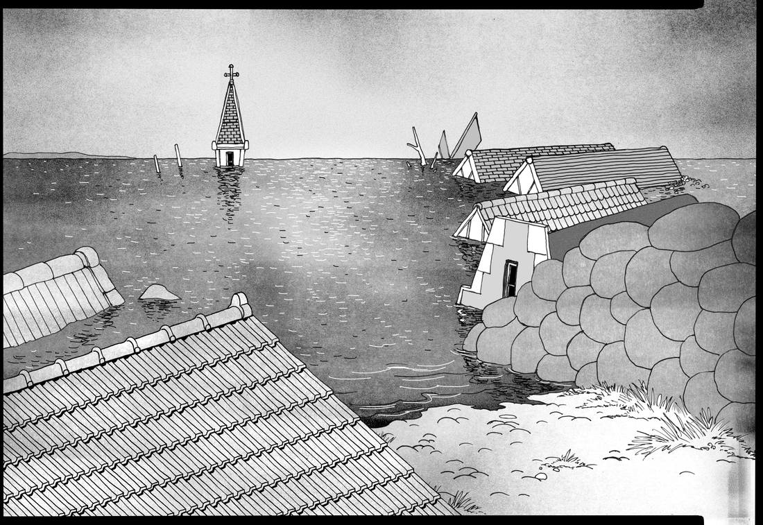
(which was the region of several cities in the Netherlands before it was lost to the ocean in St. Felix’s Flood of 1530) |
|
3. Peanut Valley
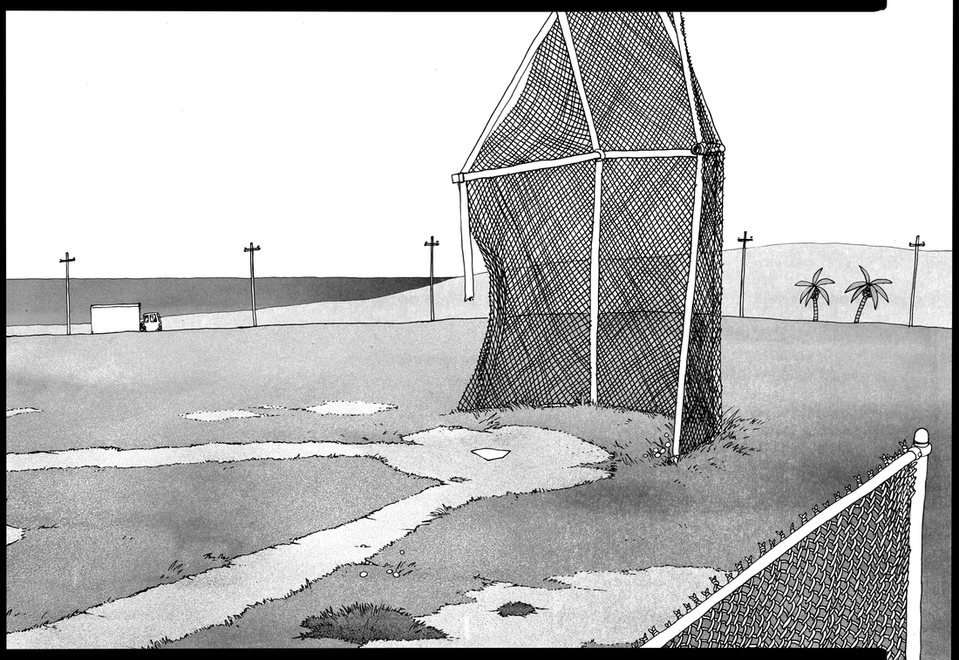
(of the Koana Islands, a baseball-loving nation invented and exhaustively mapped by Ian Silva, a train conductor from Sydney, Australia) |
|
4. Agloe, New York
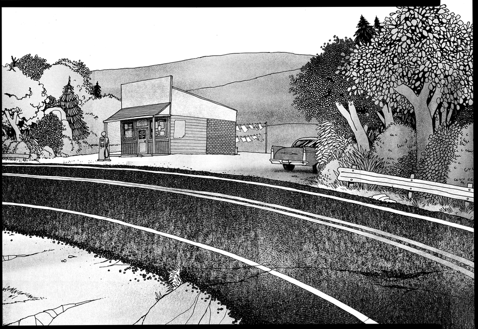
(a fictional town designed as a copyright trap by the General Drafting Company, it became real when a general store called Agloe was built at the location in the 1950s, but it has since been abandoned) |
|
5. Argleton, West Lancashire
(which appeared on Google Maps until locals pointed out that the town does not exist, its supposed location a vacant field) |
|
6. Mt. Richard
(a fictitious peak on the U.S. Continental Divide that appeared on county maps in the 1970s) |
|
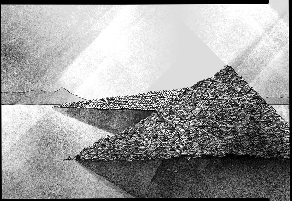
7. Chej Asos Triangles near Deming, New Mexico
(which exist only in the parallel universe of Kcymaerxthaere, which has been elucidated for some years by Geographer-at-Large Eames Demetrios) |
|
8. Kerguelen Plateau
(a submerged continent in the southern Indian Ocean) |
|
9. Aurora Islands
(which were sighted and charted in 1762, 1774, and 1794, but have not been seen since 1856, and which Arthur Gordon Pym failed to locate in Poe’s famous novel) |
